A Sherpa's Rock From Everest's Summit Tells a 400-Million-Year Story
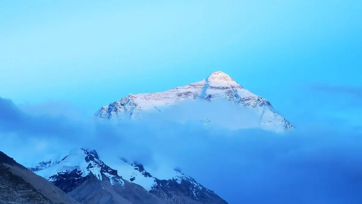
Most people who reach the top of Mount Everest take a photograph and turn around. Kenton Cool, a British mountaineer who has stood on the 8,850-metre summit more than a dozen times, sometimes does something else: he picks up rocks. On several expeditions he has worked with research teams to collect stone samples from the highest point on Earth, effectively turning the summit into a field laboratory at an altitude where the air holds roughly a third of the oxygen found at sea level.
The rocks he carries down are not souvenirs. They are evidence. The yellow-banded limestone near the top of Everest formed as marine sediment on an ancient ocean floor, then was slowly compressed, cooked and lifted skyward as the Indian and Eurasian landmasses collided. Geologists describe that process as beginning tens of millions of years ago, and the marine fossils trapped in Himalayan stone record seas that vanished long before anything resembling a human existed. A pebble from the summit is, in a very literal sense, a piece of an ocean that no longer exists.
Getting there is the hard part. Most climbers on the Nepali side start from Base Camp at about 5,300 metres. Above it lies the Khumbu Icefall, a shifting river of ice that moves daily, opening crevasses that drop out of sight and raising towers of ice that can collapse without warning. Guides and Sherpa workers — the ethnic group whose high-altitude expertise makes most commercial expeditions possible — probe routes through this terrain again and again, fixing ropes and ladders that may be buried or broken by the next morning.
Higher up, the mountain offers no comfort. The Western Cwm bakes in the sun during the day and freezes at night. The Lhotse Face is a steep wall of blue ice. Above 8,000 metres lies the so-called death zone, where the human body cannot acclimatise and simply deteriorates. Climbers who linger there lose coordination, judgment and eventually consciousness. The summit window is short, dictated by weather forecasts that are good but never certain.
Cool’s sample-collecting climbs sit inside a broader scientific effort to understand how the Himalaya were built and how they continue to change. Researchers study the rocks for clues about the collision that raised the range, and they monitor glaciers and snowlines for signs of a warming climate. Everest’s ice is thinning, and the Khumbu Icefall has become more unpredictable in recent seasons — a problem that affects not only science but the safety of everyone who works and climbs there.
For travellers, the story is a reminder that mountains are archives. Trekkers who walk to Everest Base Camp without any intention of climbing can still see the evidence: fossil-bearing limestone in the cliffs, folded rock layers, and glacial debris that looks out of place until you realise the whole range was once underwater. Lodges along the trail cater to a steady stream of visitors from around the world, and local guides are often the ones who explain the geology best.
There is also a quieter lesson. Every summit sample passes through many hands before it reaches a laboratory — Sherpa workers, porters, cooks, doctors and forecasters whose names rarely appear in the resulting papers. The rocks travel far, but so does the credit, and it is worth remembering who carried them down.