Why Ancient Chinese Maps Made Provinces Absurdly Long
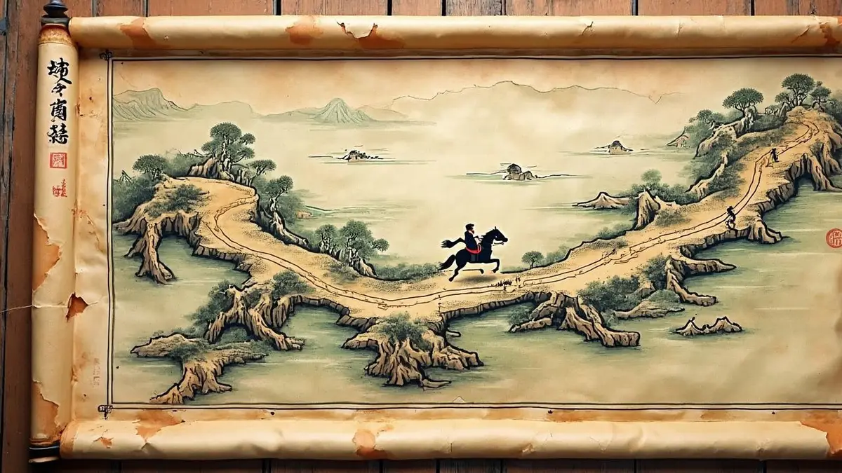
Imagine a single province that stretches from the tropics to the edge of the northern plains — a territory so long that a courier on horseback would need weeks to cross it. That was Huguang, one of ten vast provinces created by China’s Yuan dynasty (1271–1368). Its administrative center, Wuchang, sat at the very northern tip, more than 1,400 kilometers by modern highway from the southern island of Hainan, which also fell under its jurisdiction. A recent post on the Chinese Q&A platform Zhihu has revived interest in these unwieldy imperial borders, and the thread has become a quiet hit among history buffs.
The Yuan was a Mongol-led dynasty that conquered China and reorganized its territory into a system called xingsheng — literally “branch secretariats.” Ten of these became the rough ancestors of today’s provinces. The idea was to manage a huge, diverse empire, but the execution produced shapes that seem almost deliberately impractical. Henan-Jiangbei, which covered parts of today’s Henan, Jiangsu, and Anhui, earned the nickname “the rebel province” because its geography — mountains to the west, sea to the east — and its position between 30 and 35 degrees north made it a frequent cradle of uprisings.
Yet even that paled next to Huguang. Stretching from the Yangtze River in the north to Hainan in the south, it encompassed wildly different climates, languages, and economies. The administrative capital, Wuchang (now part of Wuhan), was at the extreme north. For officials in Hainan, a message to the provincial government meant a journey of well over a thousand kilometers, mostly through mountains and rivers. The Zhihu commenter who raised the point noted that even today, driving the route without ferry waits takes about nineteen hours — a journey that in the 14th century could take a month or more.
Why would anyone design such a province? Historians suggest the Yuan rulers were less interested in administrative convenience than in control. By mixing fertile plains with remote frontiers and placing the seat of power at one end, they made it harder for local officials to build a separate power base. The same logic appears in the naming of provinces. A separate Zhihu thread pointed out that during the Qing dynasty, Anhui’s full official name was “the Provincial Administration Commission of Anhui, Ningguo, Chizhou, Taiping, Luzhou, Fengyang, Chuzhou, Hezhou, and Guangde, and Other Places” — eighteen characters that packed in every major prefecture. Jiangsu had a similarly breathless title. These names were essentially inventories of the territories under a governor’s authority, not elegant geographic labels.
Such quirks are not just trivia. They reveal how pre-modern states thought about space, loyalty, and governance. The Yuan’s sprawling provinces were gradually trimmed during the Ming and Qing dynasties, and today’s borders are far more compact. But the old names and shapes survive in historical dramas, local pride, and the occasional viral post. The Zhihu thread has drawn thousands of readers, many marveling at the sheer impracticality of administering a realm where the provincial capital was a two-week ride from the southern coast.
For modern readers, the takeaway is that maps are never neutral. Every line drawn on an imperial map encoded a political calculation, a military worry, or a tax strategy. The next time you glance at a map of China, remember that the neat provinces of today are the product of centuries of redrawing — and that some of their ancestors were truly, gloriously unwieldy.